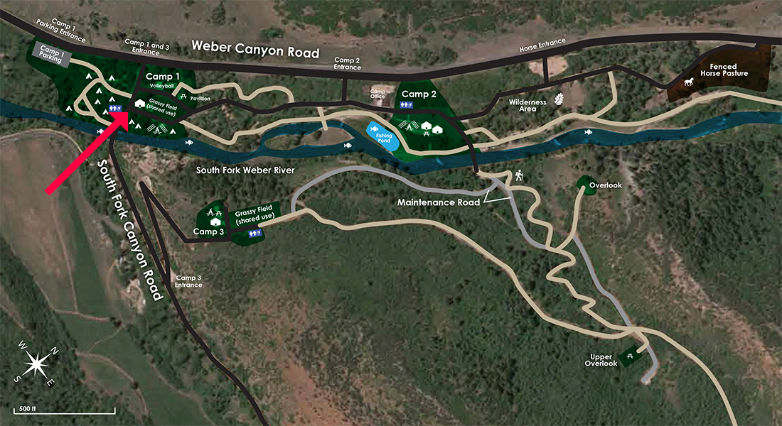
1 Yurt, 16 Campsites, 2 ADA Showers, 6 Restrooms, Picnic tables, fire pit, amphitheater, large grass field, horseshoes, and volleyball. Close to covered pavilion (separate reservation required)
Listed prices:
Non-Profit Organizations ($175/day)
Family Rates ($225/day)
Corporate Rates ($300/day)
Pavilon
An enclosable pavilion with picnic table seating for up to 70 campers.
Listed prices for non-profit organizations, family, and corporate is $100.00 per day.
Campsite
Each site fits 1 large or 2 small tents. Fire pit, picnic table, water, power, and access to an ADA shower and toilet facility. Tents only.
Yurt in the Upper Weber Group Area for 8 overnight campers, featuring heated floors, a full ADA bathroom, eight cots, and easy access to the Weber River. It stands beside the North Upper Weber Yurt and is perfect for coed retreats or groups of varying abilities. Kitchen- sink, fridge/freezer, microwave, prep counter.
Listed prices:
Non-Profit Organizations ($175/day)
Family Rates ($225/day)
Corporate Rates ($300/day)
North Upper Weber Yurt
Yurt in the Upper Weber Group Area for 8 overnight campers featuring heated floors, a full ADA bathroom, eight cots, and easy access to the Weber River. It stands beside the South Upper Weber Yurt and is perfect for coed retreats or groups of varying abilities. Kitchen- sink, fridge/freezer, microwave, prep counter.
Yurt in the Knoll Group Area, our highest and most secluded camp area, for 8 overnight campers with access to a fire pit with stone seating and an ADA shower and toilet facility. The yurt has heated floors, a full ADA bathroom, eight cots, and beautiful views of the Uintah front range and the Weber Valley. Kitchen- sink, fridge/freezer, microwave, prep counter.
Listed prices:
Non-Profit Organizations ($175/day)
Family Rates ($225/day)
Corporate Rates ($300/day)
Stable/Bunkhouse
Sleeps 8 guests with a full kitchen, laundry, elevator, stables for up to 8 horses, access to an ADA shower and toilet facility.
Listed prices for non-profit organizations, family and corporate is $425.00 per day.
Directions
From Salt Lake City
Take I-80 East toward Park City/Cheyenne
Take Exit 146 for US-40 E toward Heber/Vernal
Keep right to continue toward US-189/ US-40 E
Take exit 4 toward Park City/Kamas
Turn left onto UT-248 E, go approx. 2 miles (look for condominiums)
Turn left onto Brown’s Canyon Rd
Turn right onto UT-32/W State Rd 32
Road curves left, stay left and continue W State Road 32/UT-32 (If you are on Wooden Shoe Ln go back to US-32)
Turn left onto W Weber Canyon Rd/Rhode Island Diner. Continue to follow W Weber Canyon Rd for approx. 4 miles
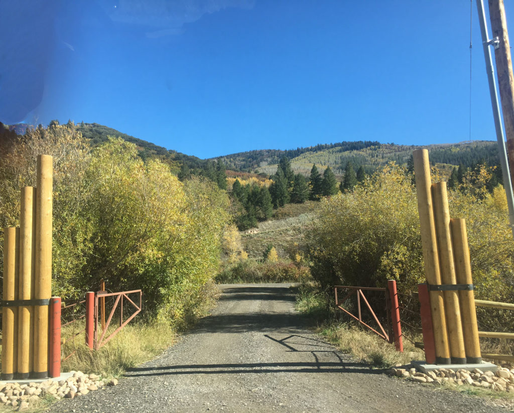
Arrive at Camp Oakley on the right. Please pull into the second entrance and check in at the office.